
Overview
The Bray to Greystones Cliff Walk is closed. Wicklow County Council says there is no through route because of unstable slopes. Repeated landslides made whole sections unsafe, some of them not visible until you are on them. Stay behind the barriers, even if the path looks clear. The council has not announced a reopening date, so check bray.ie/cliffwalk or the council page for the current status before you travel.
That is not the end of the day out, though. The signed Bray Head Loop covers some of the same headland and the same views, and it is open. If you have a couple of hours and want the cliff-top scenery, that is the walk to do.
What to walk instead
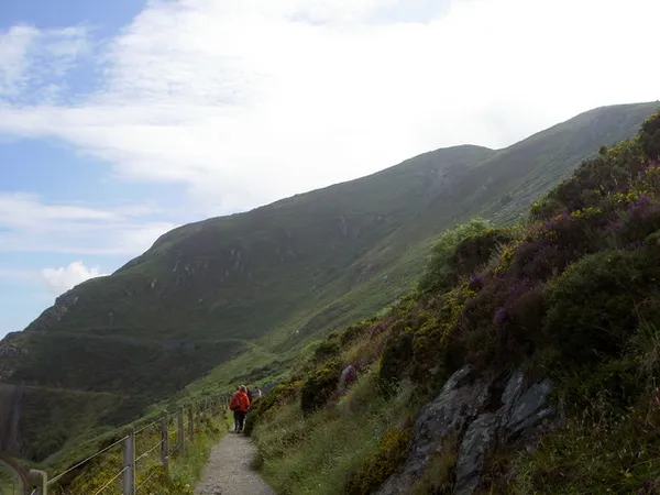
Bray Head Loop – the signed alternative. Sport Ireland lists it as a 5.9km moderate loop, marked with red arrows on a black background, and it brings you back to Bray. The trailhead is up the steps by the Vevay Road and Southern Cross Road roundabout. Allow about an hour and a half for the loop itself, plus the walk from the station or seafront. It climbs over the headland, taking in the sea views and the summit cross before dropping back down.
De Buitléar Way (Slí de Buitléar) – a circular trail on the headland, opened in 2014 and named for the wildlife filmmaker Éamon de Buitléar (1930–2013), who lived in Bray. It has interpretive panels on the local flora and fauna and links to the seafront promenade. Its current status, route and length were not confirmed in our latest check, so look at bray.ie before you plan around it.
For a level outing, stay on Bray’s promenade.
Starting in Greystones – the council says you can walk from the Greystones end as far as the barriers. Turn back there and return to the harbour. If you want to visit both towns, take the DART between them.
What you’ll see
On a clear day the headland looks north across the Irish Sea to Howth and inland to the Wicklow Mountains. The summit cross, which dates to 1950, sits at the high point with a wide view over Dublin Bay and the Great Sugar Loaf.
Bray Head is good for wildlife. The cliffs hold guillemots, razorbills, shags, cormorants, kittiwakes, kestrels and peregrine falcons; common lizards bask on the rocks on sunny days; and in the water below there are bottlenose dolphins and harbour porpoises.
A little history
The coastal railway and its accompanying walkway were built by the Dublin, Wicklow & Wexford Railway Company in the 1850s, reaching Greystones in 1855; the walk follows the line. A second tunnel was abandoned after a bridge collapsed in 1867. The WWII ‘Éire’ sign near the head is one of the coastal navigation markers laid out around neutral Ireland. A chairlift ran from the seafront up the head from 1952 to 1970.
Why the path is closed
The cliff path followed the coast above the railway. Landslides and continued erosion have made parts of it unsafe. The council’s September 2026 update describes surveys and investigation of possible inland alternatives. Check the council’s notices before setting out.
Practical Information
- Route status – the cliff walk is closed. Obey the barriers and notices, and do not try to pick a way past them.
- Bray Head Loop – 5.9km, about 1.5 hours, moderate, with steps and steep, uneven ground.
- Access & parking – follow signed public parking restrictions around the Bray seafront or Greystones harbour.
- Weather & footwear – wear footwear with grip for the steep, uneven sections, and expect coastal wind. Keep dogs on a lead.
Getting There
By DART – Bray Daly and Greystones are both on the DART line. Check the timetable for trains that continue beyond Bray. Both stations are near the seafront and trailheads.
By car – follow signs into Bray and on to the seafront, and follow signed parking restrictions around either seafront.
After the walk
Both ends reward a stop. In Bray, the seafront has cafés and ice-cream stops, and the Harbour Bar is a long-established pub. Greystones has a sandy beach (South Beach) by the DART station, an easy way to finish if you have come by train.