
Collooney has a railway station on the Dublin–Sligo line. Check trains for your date of travel.
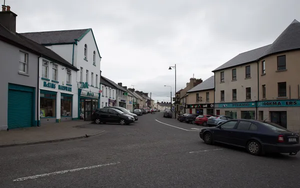
Collooney (Irish: Cúil Mhuine) is a town south of Sligo town on the Ballysadare River, at the junction of the N4 Dublin–Sligo road and the N17 Sligo–Galway road. It’s a place to base yourself or pass through rather than a day-out in its own right, with the Ballysadare River and the Ox Mountains doing most of the work. Use the public pavements through the town.
History
The town’s most dramatic day was 27 September 1798, when a combined French–Irish force under General Humbert met British troops from the Sligo garrison at Carricknagat, just outside the town. The United Irishman Bartholomew Teeling captured a British gun in the fighting, and the Teeling Monument recalls him and the fighting of 1798. It’s the one piece of history you can see without leaving the centre.
Industry came earlier. In the 18th century Charles O’Hara built a bleach mill to feed Sligo’s textile trade, drawing weavers and bleachers down from the north. The site later turned its hand to other things, including carbide, before closing in 1956. The stone mill building still stands.
Getting there
The town is on the Dublin Connolly to Sligo railway line, and Iarnród Éireann lists Collooney as a station. Check trains for your date of travel. By road, the N4/N17 junction puts the town on the route between Dublin, Sligo and Galway.
Walking and outdoor activities
Walking the Sligo Way towards Union Wood
The Sligo Way passes through Collooney on its way to Slish Wood. It is a linear section with rough ground. Check the current diversion through Union Wood, follow the yellow waymarks and plan your return.
For mountain biking, the Coolaney trails in the Ox Mountains mix forest tracks with open ridge and are a short drive from Collooney. Check the trail operator for current route and access details before you go.
Fishing on the Ballysadare River
The Ballysadare River, formed where the Owenmore and Unshin meet near the town, holds salmon and trout. A valid Inland Fisheries Ireland licence is required, and you should only fish where access is public or permitted by the owner.
Nearby
Most of the area’s draws are a short drive out:
- Markree Castle – a 17th-century mansion with gardens.
- Ballymote Castle – a Norman tower house.
- Carrowkeel Passage Tomb – a hilltop prehistoric burial complex with long views over south Sligo.
- Castle Dargan Golf Course – a golf course in the hills east of the town.
Check each place’s own website for current opening arrangements and any charges.
Practical information
- Public transport: Irish Rail (Dublin Connolly to Sligo line) lists Collooney station; check trains for your date.
- Walking: the Sligo Way is a linear route on rough ground; follow the yellow waymarks and check the current Union Wood diversion.
- Fishing licence: required for the Ballysadare River, from Inland Fisheries Ireland.
- Nearby attractions: check each venue’s own site for charges and times.