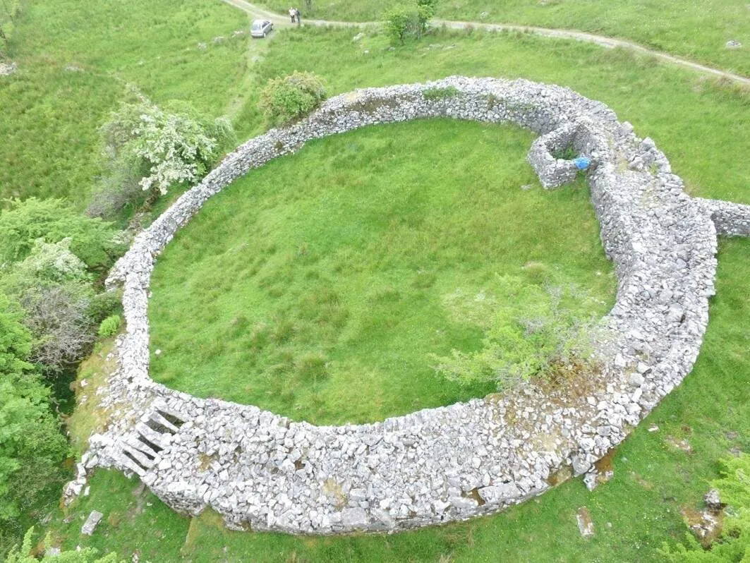
Cuilcagh Lakelands Geopark rises like a time-traveler's map across County Cavan and Fermanagh, where the border between Northern Ireland and the Republic of Ireland dissolves into rolling lakelands, rugged mountains, and subterranean marvels. As the world's first cross-border UNESCO Global Geopark (established in 2008), this landscape is a living library of Earth's history - from ancient tropical seas fossilized in limestone to the whispering blanket bogs of Cuilcagh Mountain, Ireland's highest peak north of the Mourne Mountains. Beneath its surface lies the Marble Arch Caves, a labyrinth of crystal-clear rivers and stalactites formed over millennia, while above ground, the Shannon Pot gushes forth as the official source of Ireland's longest river before vanishing underground in a natural enigma. Here, 50+ sites weave geology with human heritage: Iron Age forts perch on limestone outcrops, early Christian monasteries dot tranquil islands, and prehistoric tombs like the Giant's Grave guard secrets older than Stonehenge.
Whether trekking the Cuilcagh Boardwalk Trail to its panoramic viewpoint or tracing underground streams in guided cave tours, visitors slip between epochs with every step. Families can explore Cavan Burren Park's fairy forts, while history buffs wander Drumlane Abbey's 6th-century ruins or Norman motte-and-bailey castles. By day, red deer graze Lough Navar Forest; by night, the lack of light pollution reveals constellations as vivid as the geopark's storied past. Managed jointly across borders since its UNESCO designation in 2001, this land is both a wilderness adventure and a bridge between cultures - a place where every rock tells a story.
Jump to section:
Things to See and Do
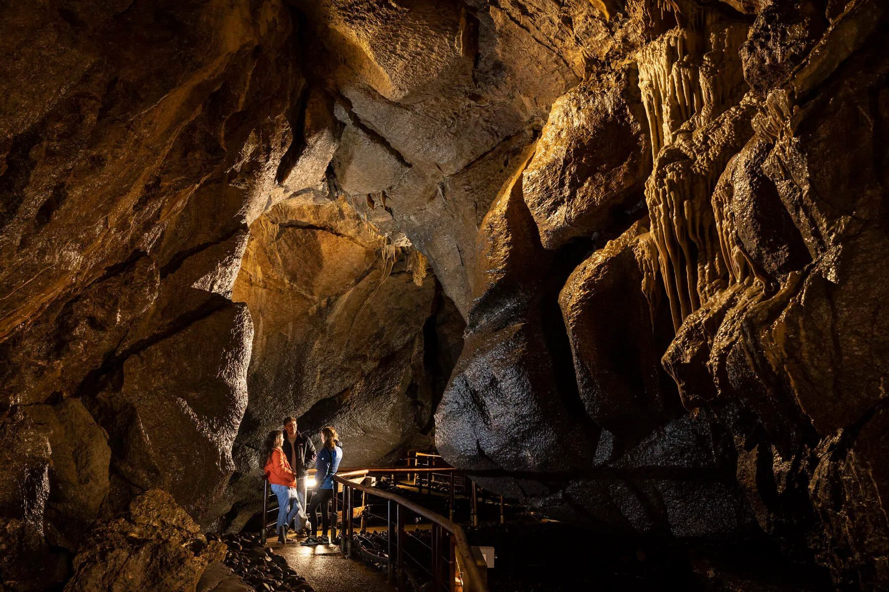
Marble Arch Caves
A world-famous underground cave system featuring rivers, waterfalls, and limestone formations. Guided tours explore the unique subterranean landscape.
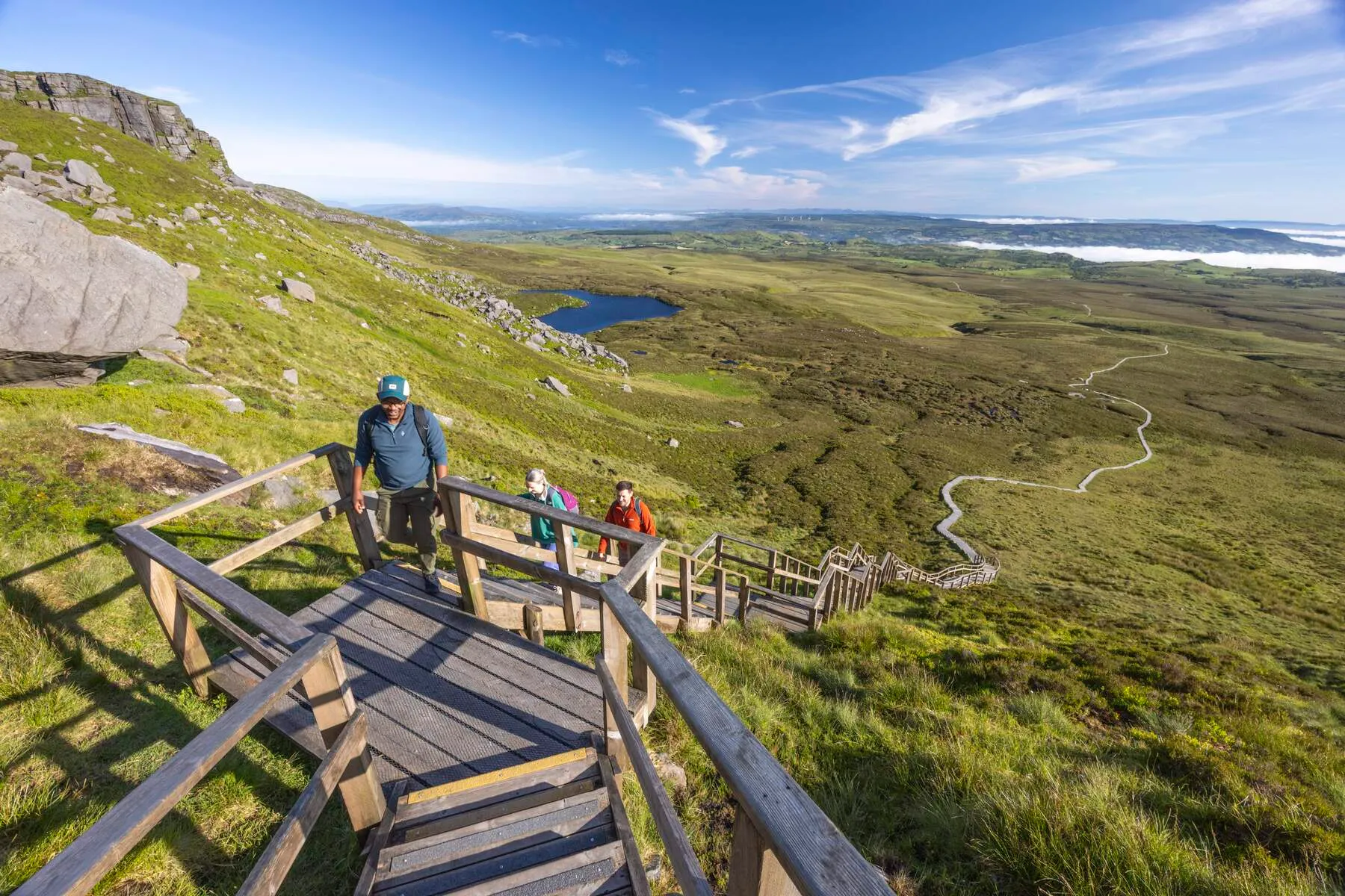
Cuilcagh Boardwalk Trail
A challenging hike through one of Ireland's largest blanket bogs, ending at a viewing platform offering panoramic views of the lakelands and lowlands.
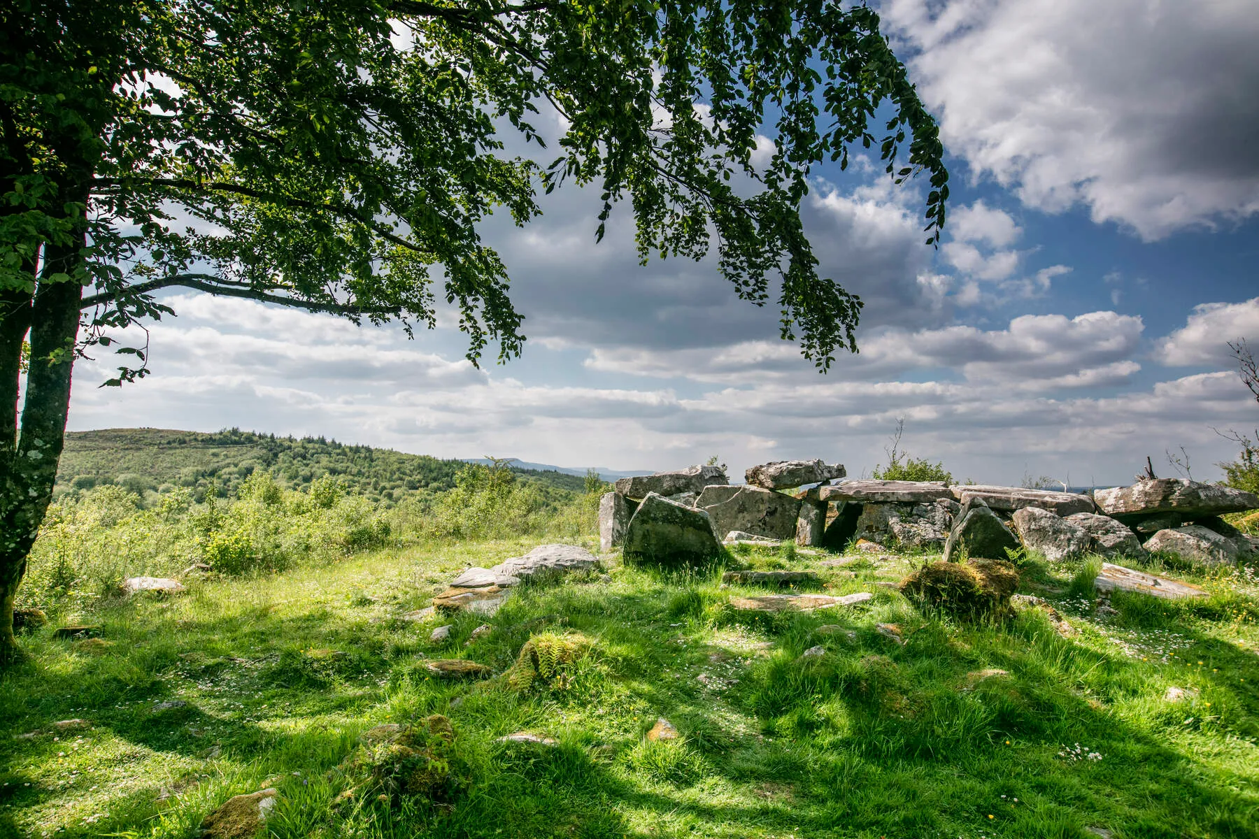
Cavan Burren Park
A mystical landscape with prehistoric tombs (e.g., Giant's Grave), Iron Age forts, and Bronze Age hut sites. Features ancient megaliths and fairy forts.
Cladagh Glen Nature Reserve
A narrow gorge with waterfalls, lush vegetation, and scenic trails through native woodlands. Ideal for short hikes or wildlife spotting.
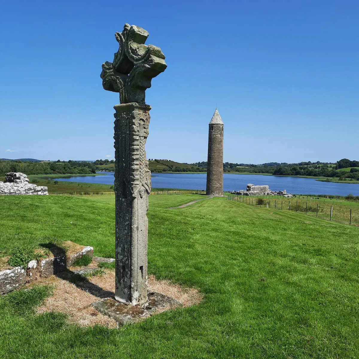
Devenish Island Monastic Site
A serene island with the ruins of an early Christian monastery, round tower, and church dating back to the 6th century. Accessible by boat tours.
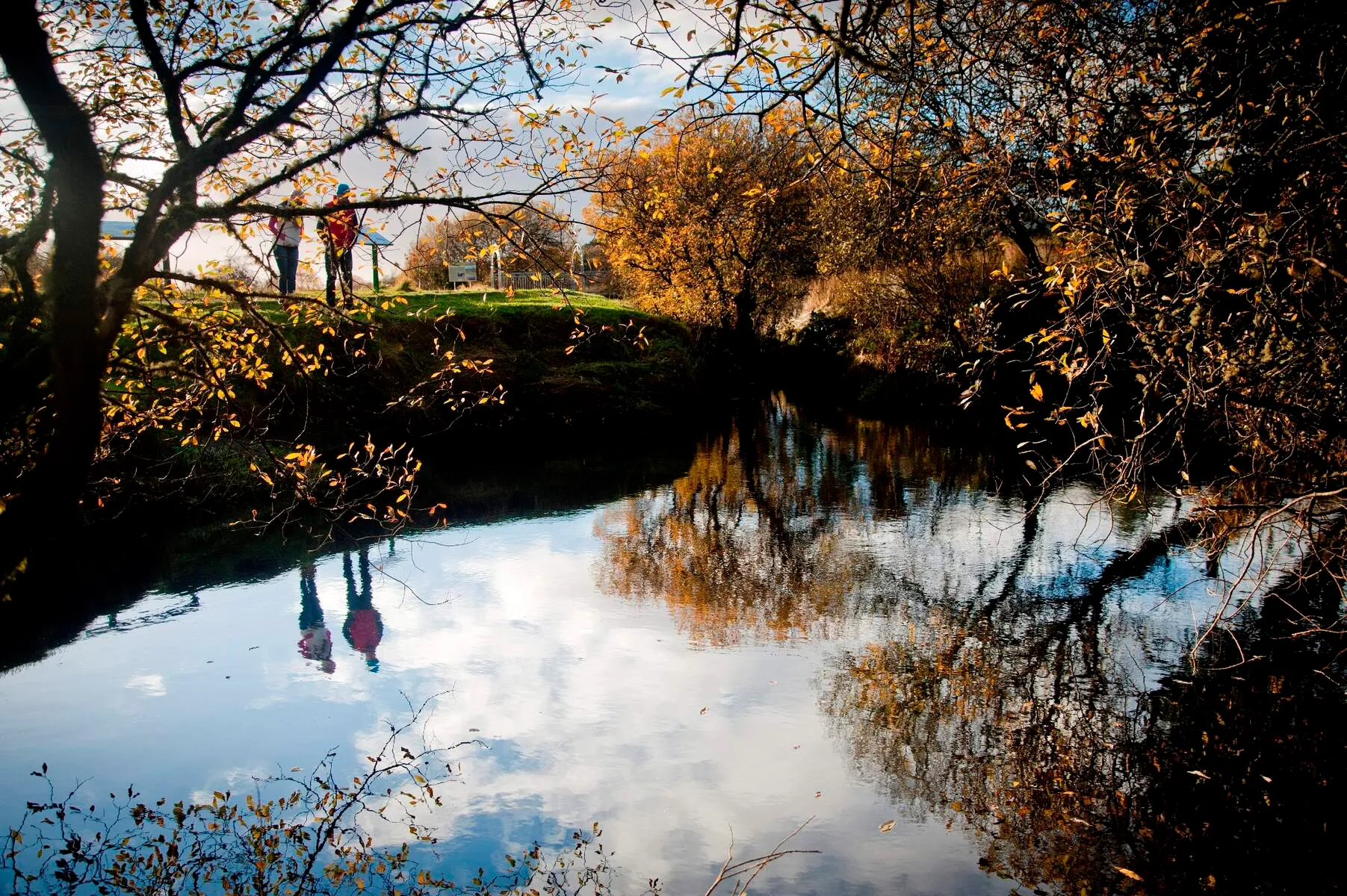
Shannon Pot
The surface source of Ireland's longest river, the Shannon. A natural wonder where water disappears underground into an extensive cave system.
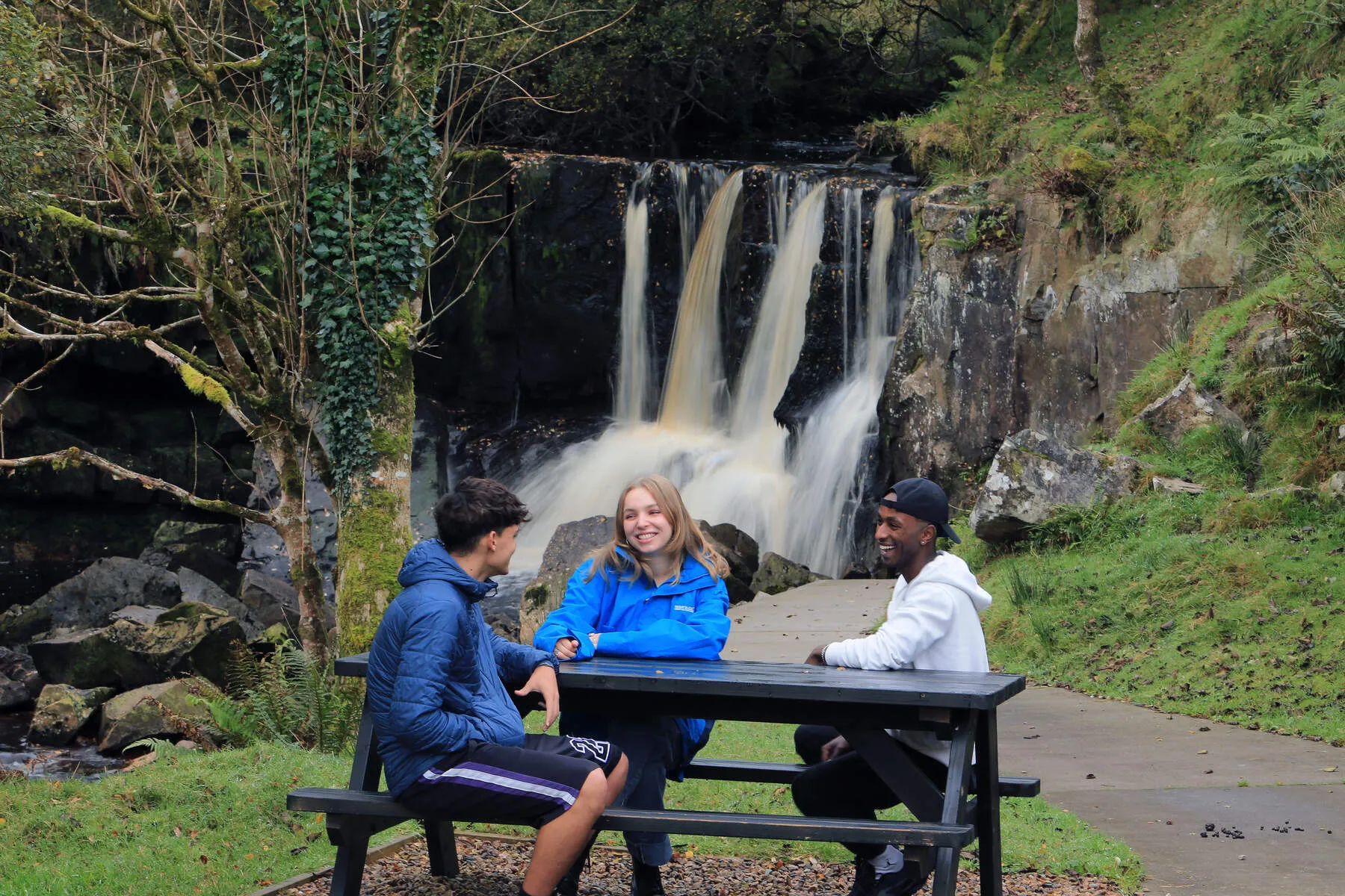
Tullydermot Falls
A picturesque waterfall nestled under Cuilcagh Mountain, accessible via an easy forest trail with stunning mountain views.
Lough Navar Forest & Magho Cliffs
A vast forest park with hiking trails and the iconic Magho Cliffs, offering breathtaking views over Lower Lough Erne. Home to red deer and rare woodlands.
Benaughlin Mountain
A prominent peak on the Cuilcagh mountain range, popular for hiking with panoramic vistas of Northern Ireland and the Republic of Ireland.
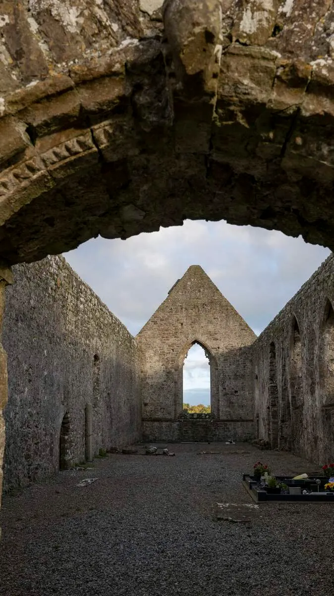
Drumlane Abbey
A medieval abbey founded in the 6th century, featuring ruins of a church and round tower on Lough Oughter's shore.
Killykeeghan Nature Reserve
A limestone grassland reserve managed through conservation grazing, home to rare flora and fauna. Trails link to Cuilcagh Mountain.
Portora Castle
A 17th-century plantation castle guarding the River Erne's crossing point, showcasing architectural remnants of English settlers' influence.
Turbet Island Motte & Bailey
The site of a medieval Norman motte and bailey fortress, offering insight into Ireland's Anglo-Norman history.
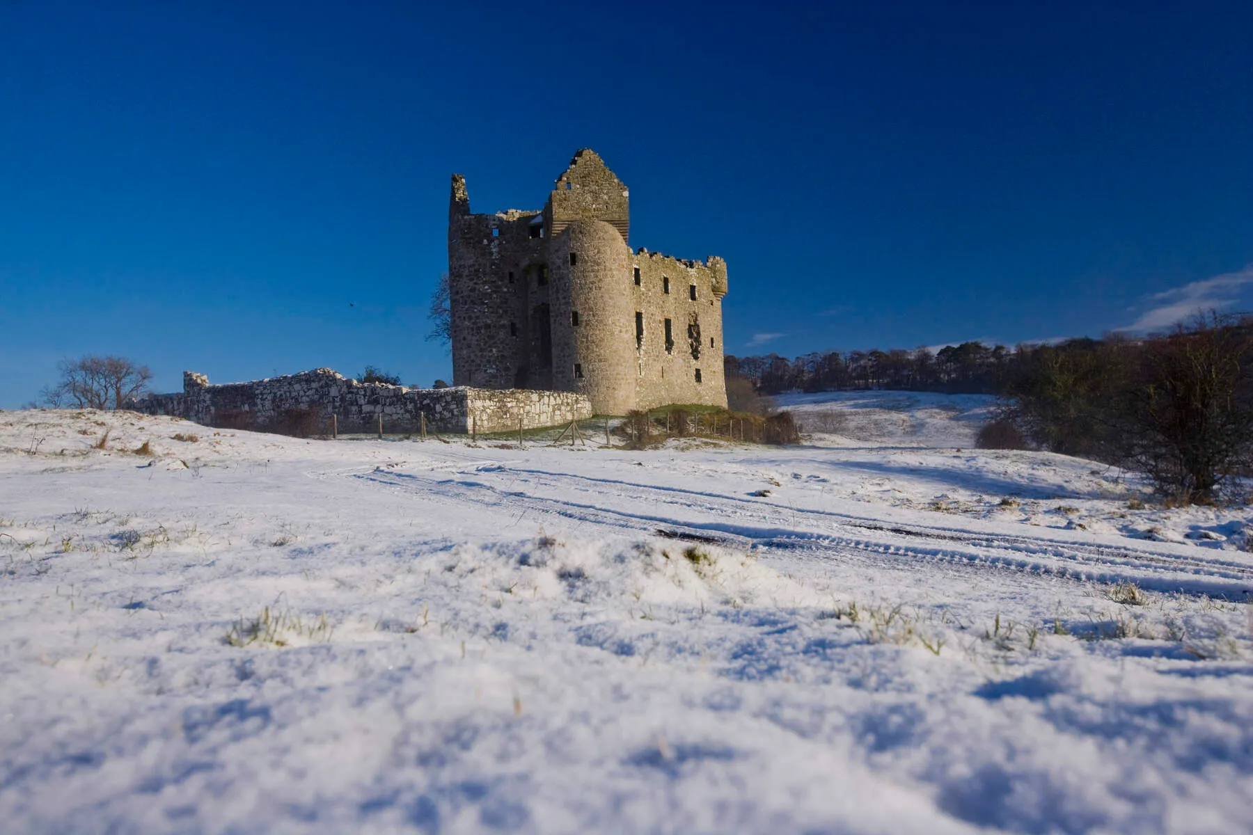
Monea Castle
A well-preserved 17th-century plantation castle, exemplifying the architecture of Scottish and English settlers during the Plantation of Ulster.
Inishmacsaint High Cross
A well-preserved early Christian high cross on Lower Lough Erne's shore, symbolizing Ireland's spiritual heritage.
Getting There
Car
-
Free car parking is available at the nearby Killykeegan Nature Reserve, located 1 mile from the start of the Cuilcagh Boardwalk Trail.
-
The Cuilcagh Boardwalk Trail is located a 1-minute drive from the Marble Arch Caves Visitor Centre.
Parking & Transport
-
Car parking (free) is available at Killykeeghan Nature Reserve, 1km from the boardwalk.
-
Additional parking is available at the privately run car park, which is bookable online and open from 7am-11pm Monday-Sunday.
Nearest Towns and Attractions
-
Belcoo, Northern Ireland
-
Blacklion, Republic of Ireland
-
Enniskillen (Island town in County Fermanagh, Northern Ireland)
-
Marble Arch Caves Visitor Centre
-
Florence Court (National Trust property with views of the Cuilcagh Mountains)
Maps and Guides
-
A map is available to download via the Marble Arch Caves website.
-
OS map: Sheet 26 (1:50 000)
-
Cuilcagh Boardwalk Trail Booklet is available from Marble Arch Caves or Fermanagh Visitor Information Centre.
Events & Festivals 2025
There are currently no events listed. If you would like to add an event, please contact us.
History
Human presence in the Cuilcagh Lakelands Geopark dates back to the Neolithic era, around 4,000-2,500 BC, with evidence of megaliths and stone tombs used as burial places. The Bronze Age saw the construction of large burial cairns on Cuilcagh Mountain, while medieval times brought a surge in Irish population, only to be followed by abandonment during the Irish Famine in the mid-19th century. Derelict stone farm cottages and field walls remain as testaments to this once-thriving rural community.
As the centuries passed, the area became home to early Christian monasteries, such as Devenish Island and Boa Island, which boast important scheduled monuments related to Christianity. The region's rich history also includes Plantation Castles like Castle Caldwell, Tully Castle, and Monea Castle, now largely in ruins. Enniskillen Castle, refurbished and housing a museum, stands as a notable exception.
Folklore and mythology are deeply ingrained in the Geopark's landscape. The Giant's Grave, a wedge tomb in Cavan Burren Park, is said to be the final resting place of a giant who fell to his death in a chasm. Nearby, the Shannon Pot is steeped in legend, with tales of Sionnan, granddaughter of the Celtic sea-god Lir, and her doomed quest for the Salmon of Wisdom.
In more recent times, the Marble Arch Caves were first explored in 1895 by French speleologist Édouard-Alfred Martel. The caves were later developed as a show cave, opening to the public in 1985. Cuilcagh Mountain Park followed in 1998, with conservation efforts focused on restoring damaged peatland and preserving pristine blanket bog.
The Geopark's modern history is marked by its designation as one of the first European Geoparks in 2001, and later as a Global Geopark in 2004. In 2008, it became the world's first transnational Geopark, spanning across the border into County Cavan in the Republic of Ireland. This status was solidified with UNESCO recognition in 2015, acknowledging the Geopark's exceptional geological heritage and commitment to sustainable development through conservation, education, and community engagement.
