
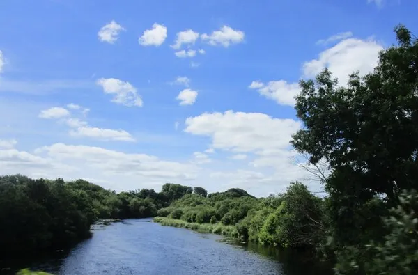
Cork’s city centre sits on an island because of the Lee. As the river reaches the city it splits into north and south channels, wraps the centre between them, and only rejoins downstream, which is why so much of Cork is bridges and quays. The Lee (Irish: An Laoi) runs about 90 km from the Shehy Mountains to Cork Harbour. If you have one afternoon and want the river at its best, follow the Marina Promenade out towards Blackrock, where a castle with an observatory in it waits at the end.
The river’s course
The Lee rises as a fast stream in the Shehy Mountains at Gougane Barra, a forest park with a lakeside chapel and a 6th-century hermitage tradition tied to Saint Finbarr. It slows into Lough Allua, then quickens again through The Gearagh, a rare submerged woodland above Macroom. Upstream of the city a hydro scheme holds the flow behind the Carrigadrohid and Inniscarra reservoirs, feeding the river down past Ballincollig Weir before it reaches the urban channels and, finally, the broad estuary of Cork Harbour.
History and the 2009 flood
The river is crossed by many bridges, most of them in the city core, plus a single tunnel. The Irish name An Laoi is usually traced to Corca Luighe, an ancient noble line, though the Roman geographer Ptolemy also recorded a river he called Dabrona in the region, which some link to the Lee. The Vikings settled here for practical reasons: easy access inland, fresh water, the natural harbour down at Cobh, and a set of marshy islands to build on.
Cork and the Lee have not always got on. Streets in the centre have flooded many times since the mid-19th century, and in late 2009 heavy rain met a high tide with real force. To protect the dams, the ESB released a controlled volume from Inniscarra, which pushed levels in the centre up sharply. The Lee Water Station went under, leaving tens of thousands without running water for days, and the low end of the University College Cork campus was badly hit. Flood management has improved since, but the river’s capacity to rise is a permanent fact of the city.
What to see and do
- Island Walk: Cork City Council’s Island Walk links the quays, bridges and streets of the central island, so you see both channels and the city’s bridges as you go.
- Marina Promenade: farther east, the Marina Promenade follows the Lee towards Blackrock. Check the council page for the latest on the park and its tree walkway.
- Rowing: the river is home to Lee Rowing Club, Shandon Boat Club and Cork Boat Club, and to Naomhóga Chorcaí, a currach club on the Marina. Contact the clubs directly if you want to try the sport.
- Blackrock Castle: the 17th-century tower at the river’s mouth is now a science centre and observatory rather than a historic-house visit. Check Blackrock Castle Observatory for its current visitor programme before you go.
Practical information and safety
The Lee is a public waterway through the city with no admission fee for walking its quays and promenades. City-centre parking is paid, so read the signs before you leave the car and check the council’s pages for current rules. Buses cover the city and suburbs, and ferries run from the docks for Great Island and Cobh.
Water levels can change fast after heavy rain or high tides. Follow Cork City Council’s local alerts and stay off flooded paths. Keep away from weirs, including Ballincollig Weir, where strong currents make the water dangerous, and don’t swim or paddle near them.
Accessibility and dogs
Much of the city-centre riverside is paved, but surfaces, gradients and seating vary, so check the route you plan before you set out. Keep dogs on leads along promenades and busy quays. Winter and early spring bring higher water and muddier, sometimes closed, bankside paths.
Nearby attractions
- Ballincollig Castle – a Norman motte-and-bailey ruin over the Maglin Valley, a short drive from the western banks.
- Aghada – a coastal village near the mouth, with estuary walks and views of the Lee meeting the sea.
- Cork City Gaol – a well-preserved 19th-century prison turned museum, a short walk from the south channel.
For conditions on the day, check the council’s flood alerts and the local tide tables; both shape how the river looks and where it is safe to walk.