Head to a windswept ridge in County Londonderry to find the Ballygroll Prehistoric Landscape, a remarkable site packed with over 2,500 years of human history, from the Stone Age right through to the Late Bronze Age. Spread across 11 acres, this area is dense with ancient monuments – tombs, stone circles, and more – making it one of Northern Ireland's most important prehistoric sites. It tells a story of ancient rituals, burial practices, and how people used the land long ago. Recognised as a Scheduled Monument and looked after by the State since 1973, Ballygroll remains something of an archaeological puzzle, with only limited digs revealing its secrets.
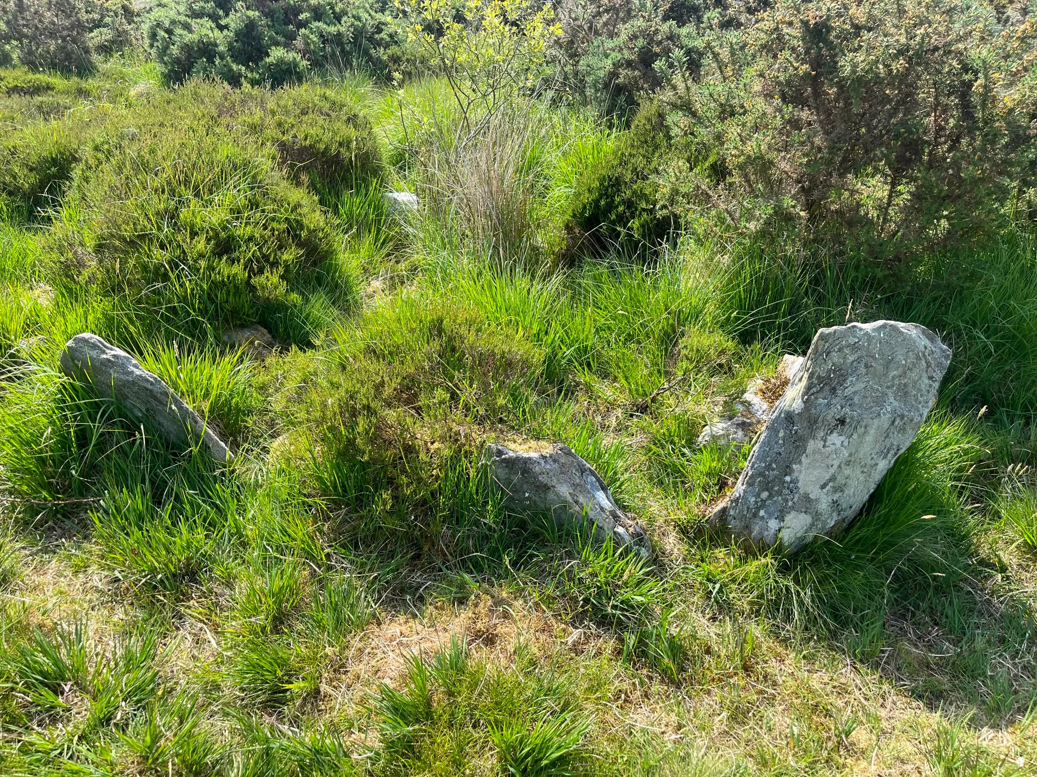
The oldest structures likely date back to the Stone Age, including a court tomb featuring a V-shaped entrance area leading to two chambers. Nearby wedge tombs, with their distinct heel-shaped stone piles (cairns), point to later Neolithic activity. You'll also find two stone circles (one in rings, one in arcs), perhaps used for ceremonies long ago. Adding to the mystery are a barrow (burial mound) and a pit, whose exact uses are still debated, plus scattered cist graves (stone boxes for burials), standing stones, and stone alignments across the peat-covered ground. Although some monuments were damaged over time by farming and treasure hunters, many are surprisingly well-preserved under the bog and heather. Excavations in the 1970s found pottery under a tomb's capstone and dated some field walls to around 80 BC, but much of Ballygroll's story is still waiting to be uncovered.
Visiting Ballygroll feels like stepping back in time. The walk to the monuments is short but requires a bit of adventure – it's unmarked, uneven, and often overgrown, so wear sturdy shoes! The journey through heather, with views of the distant Sperrin Mountains, makes discovering the stone circles feel even more special. There are no facilities, emphasizing the site's wild nature, so bring anything you need. Spring and autumn offer pleasant weather and clearer views, while summer gives you longer daylight hours. Winter brings a quiet atmosphere, perfect for contemplation, but paths can be slippery. Ponder the enigmatic barrow, look for cup marks on the court tomb's capstone, and imagine the lives and beliefs of the people who built these fragmented stone alignments. Ballygroll is a place where the past feels very close.
Getting There
Nearest Airports & Train Stations
- Airports: The closest are City of Derry Airport (10 miles/16 km) and Belfast International Airport (50 miles/80 km).
- Train: Limavady Station (10 miles/16 km away) connects to Belfast and Londonderry. From there, buses or taxis can take you to Claudy.
Driving Directions
- From Belfast: Take the A6 towards Londonderry. Continue past Limavady and follow signs into Claudy. The farm lane to the site is 0.3 miles (0.5 km) from Claudy, signposted off Ervey Road.
- From Derry/Londonderry: Head south on the A6 toward Claudy. Follow the same final directions as above.
Public Transportation
- Buses: Route 261 (Translink) connects Limavady to Claudy hourly. Check schedules via Translink's Journey Planner. From Claudy, walk 0.3 miles along the farm lane, which is narrow and suitable for pedestrians only.
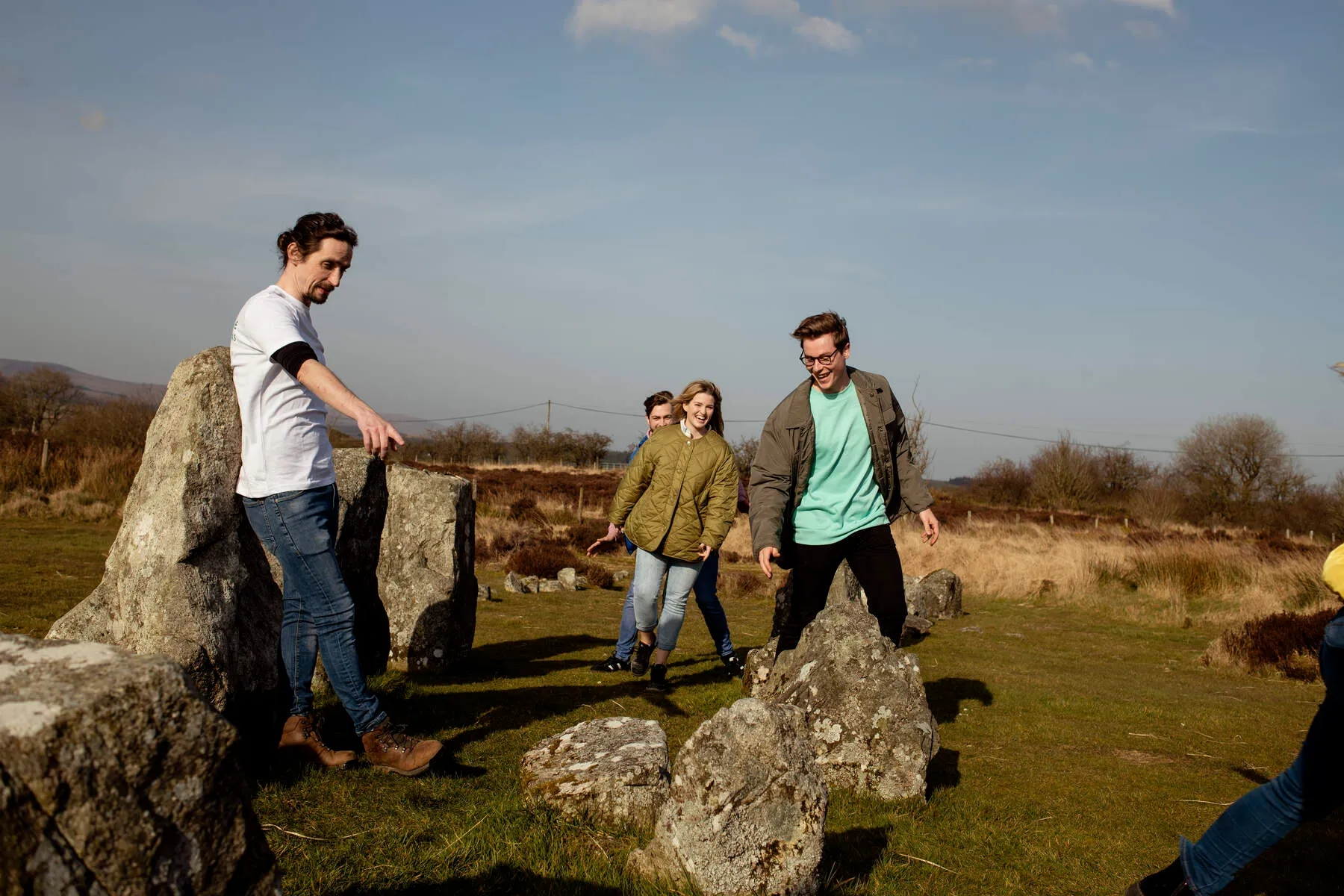
- Guided Tours: The Roe Valley Ramblers offer organized walks to explore the site's monuments, providing local insight and navigation assistance.
Local Access
The final approach is via a farm track (unpaved) leading to the monuments. While vehicles may reach Claudy, the last stretch is best undertaken on foot. The terrain includes heather moorland and grassland, with a circular path around the site.
Parking
Parking Tips:
- On-site: The parking sits directly at the trailhead, offering a short, flat walk to the prehistoric features.
- Fees & Payment: No parking fees or payment systems are in place-this area remains free and unmanaged.
- Accessibility: While the path to the site is short, the parking area's size and unpaved track may pose challenges for larger vehicles or visitors requiring accessibility accommodations. Check local signage for any temporary restrictions.
- Considerate Parking: Leave ample space for farmers using the track, as access must remain prioritized for agricultural activities.
- Alternatives: If the lot is full, look for roadside parking along the nearby farm lanes (ensure no restrictions are in place).
Nearby Attractions
Beaghmore Stone Circles
Deep in the rolling hills of County Tyrone, the Beaghmore Stone Circles provide a powerful connection to Ireland's ancient inhabitants. This Bronze Age complex features seven stone circles, ten rows o...
Distance: 9.3 km
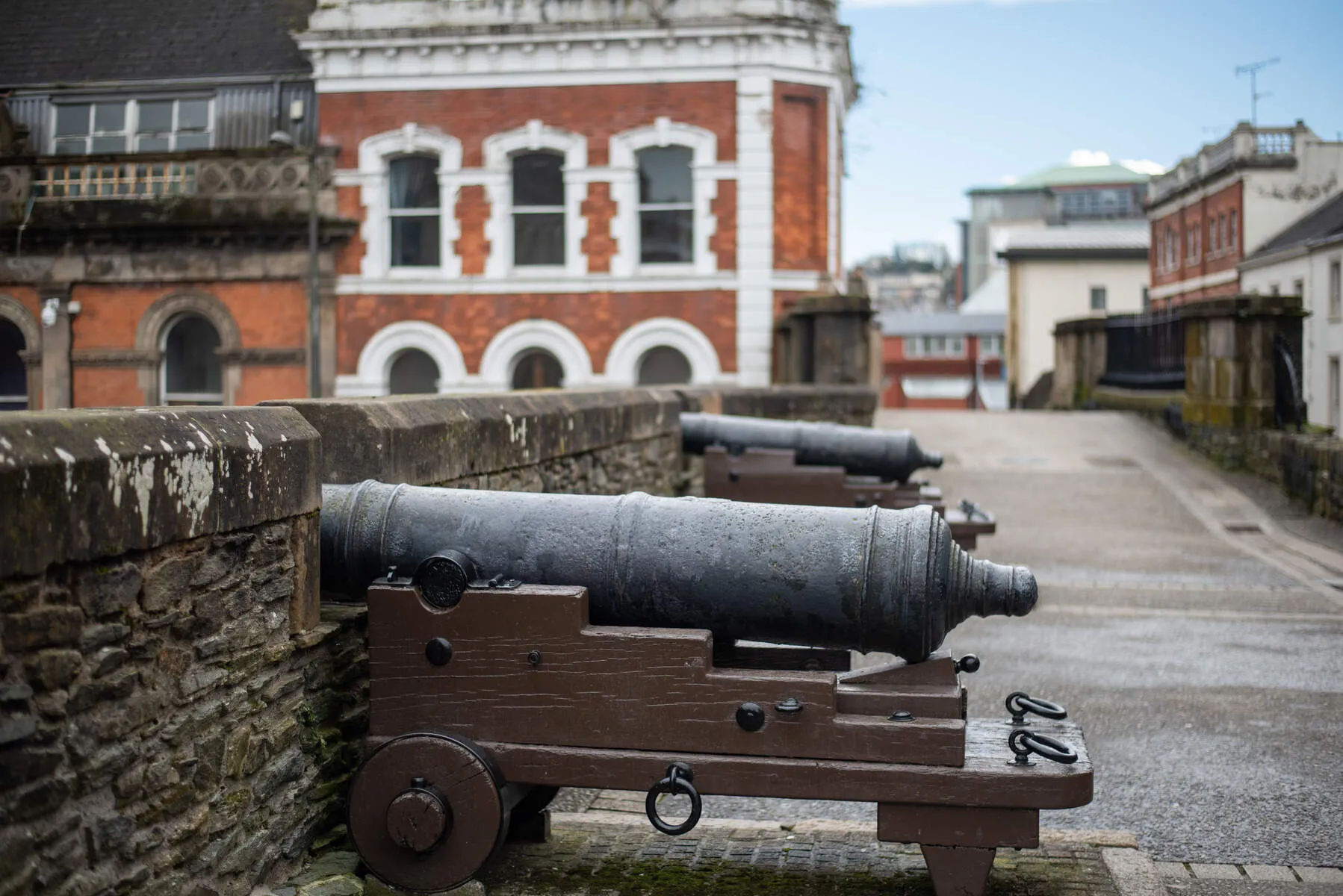
Derry City Walls
Derry City Walls stand as a testament to resilience and history, the last fully intact walled city in Ireland and among Europe's most preserved fortifications. Constructed between 1613 and 1619 under ...
Distance: 39.8 km
Ardress House
Ardress House, built in the orchards of County Armagh, stands as a layered testament to Northern Ireland's architectural and social history. Originally constructed around 1700 as a farmhouse by the Cl...
Distance: 40.2 km