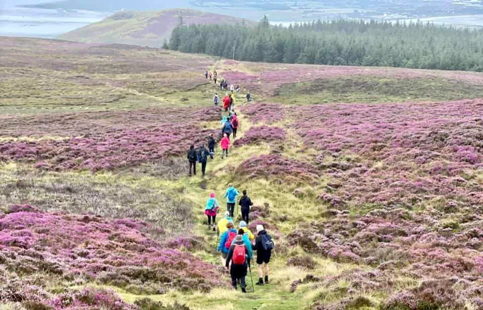
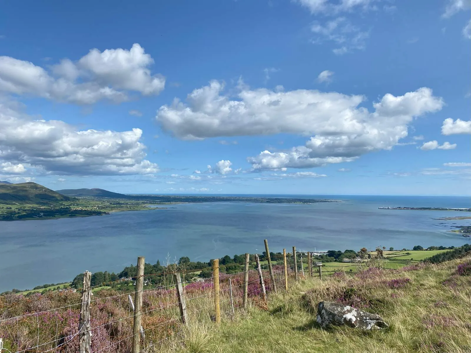
The Cooley Peninsula Scenic Route winds through a landscape steeped in myth, history, and natural beauty, offering a journey into the heart of Ireland's ancient and enduring heritage. Located in County Louth, the peninsula's 155-square-kilometer expanse is framed by Carlingford Lough to the north and Dundalk Bay to the south, with the rugged Cooley Mountains dominating the interior. This region is most famously tied to the Táin Bó Cúailnge (The Cattle Raid of Cooley), the epic tale of hero Cú Chulainn and the legendary Brown Bull, whose legacy echoes in monuments like Cú Chulainn's Castle near Dundalk and the Táin Way hiking trail. The peninsula's geology adds another layer of significance, with volcanic rocks from 60 million years ago resting alongside Silurian sandstones over 400 million years old, creating a terrain of granite peaks, heather-clad ridges, and fertile valleys.
Cultural and historical landmarks abound here, reflecting layers of human occupation spanning millennia. Proleek Dolmen, a Neolithic portal tomb weighing over 40 tonnes, stands as a testament to the area's early inhabitants, while medieval Carlingford-a walled town with a Norman castle-retains its strategic importance. The Battle of Faughart (1318), fought near the Hill of Faughart, underscores its historical volatility. The region's ties to folklore are palpable: Slieve Foye, the highest peak, is said to be the resting place of Fionn MacCumhaill, while local legends like the "Long Woman's Grave" blend mystery with historical intrigue. The Carlingford Greenway, a converted railway path, further connects visitors to the peninsula's past, passing through landscapes unchanged for centuries.
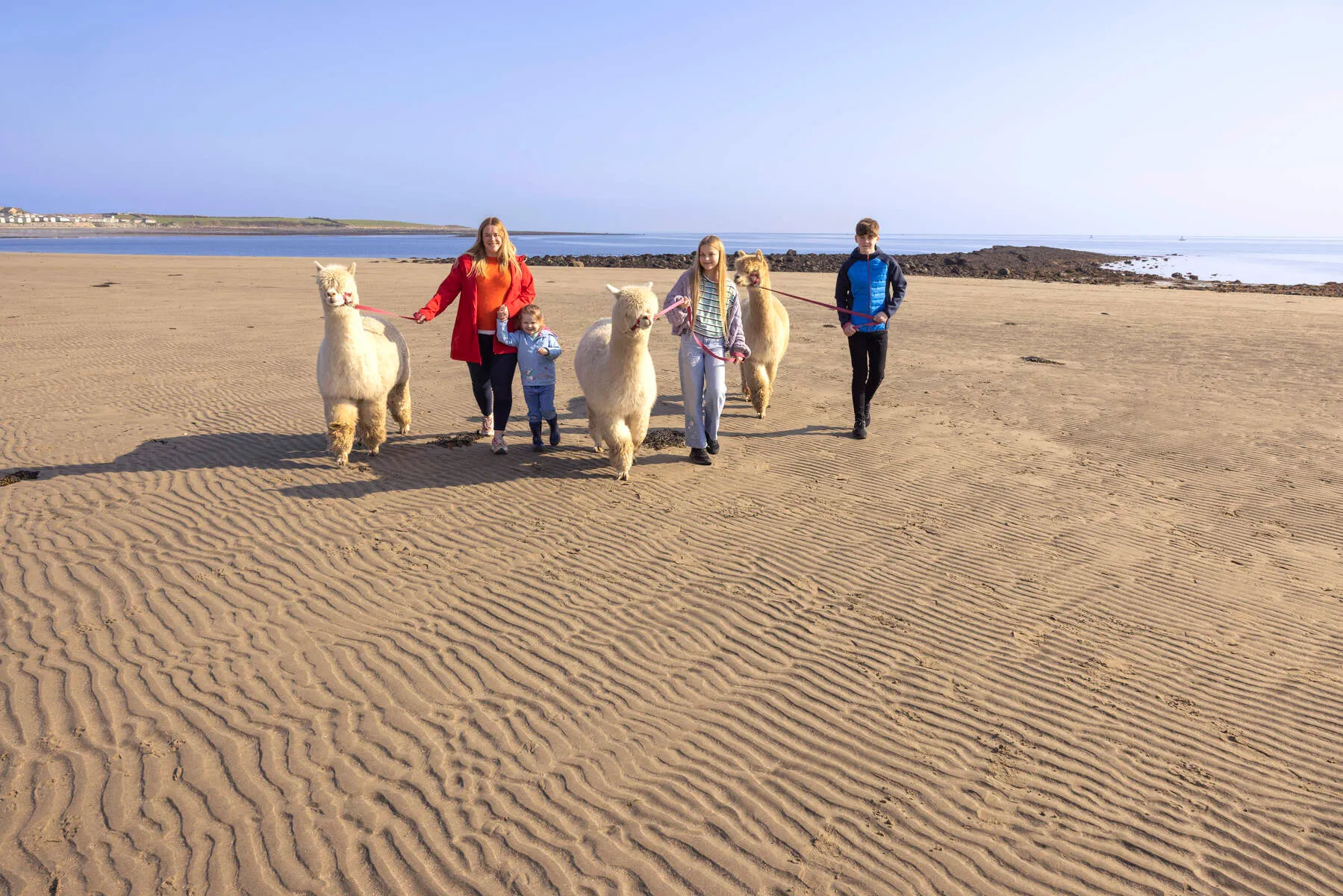
The scenic route itself reveals a tapestry of landscapes-from the dramatic cliffs of Greenore to the sunlit shores of Templetown Beach, named for the Knights Templar. Highlights include the Carlingford Lough ferry ride, offering views of the Mourne Mountains' iconic peaks, and the Annaloughan Loop Walk, which threads through forests and meadows. Adventurous travelers can tackle the challenging slopes of Slieve Foye or explore abandoned homesteads along the Táin Way. The peninsula's towns, such as the port of Greenore and the village of Omeath, offer glimpses into rural life, with artisanal farms like Rob Kearney's family dairy contributing to its agricultural identity.
Visitors are encouraged to spend at least a full day to fully appreciate the peninsula's depth, though many return to linger. Spring and autumn bring mild weather ideal for hiking, while summer offers vibrant festivals, such as Carlingford's Oyster Festival. Unique touches, like the Proleek Dolmen's gravity-defying capstone or the tale of Greenore's "old-world charm" born from its 19th-century railway town origins, ensure the Cooley Peninsula remains a place where myth and reality intertwine. Whether traversed by car, bike, or on foot, the route delivers an immersive experience of Ireland's natural and cultural legacy, far beyond its modest size.
Getting There
Nearest Airports
The Cooley Peninsula is easily accessible from two major airports:
- Dublin Airport (approx. 1.5 hours' drive via the M1 motorway).
- Belfast International Airport (approx. 1 hour 15 minutes' drive via the M1).
Driving Directions
The route is best explored by car, as public transport options are limited. Key driving routes include:
- From Dublin: Take the M1 northbound toward Dundalk. Exit at junction 12 (Dundalk South), then follow the R173 toward the Cooley Peninsula. The drive takes about 1.5 hours.
- From Belfast: Head south on the M1 toward Dublin. Take exit 16 (Dundalk North), then follow signs for the R173 to the peninsula. This takes approximately 1 hour 15 minutes.
- From Newry (Northern Ireland): Turn south on the R173 from Bridge Street, cross the border near Omeath, and follow the scenic route toward Carlingford.
Public Transportation
While limited, the Carlingford Lough Ferry offers a scenic alternative, connecting Greenore (County Louth) to Greencastle (County Down, Northern Ireland) in a 20-minute journey. This ferry provides a unique way to approach the peninsula from the water.
Local Transportation Options
- Cycling: The Carlingford Greenway (a 7km off-road path) and the Táin Way mountain trails cater to cyclists and walkers. The Greenway links Carlingford to Omeath, while the Táin Way offers mountain routes between Carlingford and Ravensdale.
- Walking: Numerous trails, including loop walks in Carlingford, Omeath, and Ravensdale, allow exploration on foot.
- Historical Note: A disused railway line once connected Omeath to Dundalk and Newry, but it is no longer operational.
Important Tips
- Public buses are sparse; car rental or private transport is strongly recommended for flexibility.
- A free scenic drive map is available from local tourist offices and accommodations, outlining key points of interest.
The drive itself spans 80km and can be completed in 1-2 hours, but allowing extra time for stops at villages like Carlingford, historical sites, and coastal viewpoints is advisable.
Parking
Primary Parking Areas
- Carlingford Town: Free parking is available in designated lots, near King John's Castle, and along streets overlooking Carlingford Lough. These spots are ideal for exploring the town's historic sites and waterfront.
- Carlingford Marina: A dedicated lot here charges €2 for standard parking, though entry is free for patrons of the Marina or its restaurant. This is a convenient option for accessing the Greenway trailhead and waterfront amenities.
- Greenore and Omeath: Smaller villages along the route offer free parking near coastal viewpoints and scenic turnouts, such as Greenore Beach and Omeath Church.
Fees & Payment
Most parking is free except at the Marina, where a flat fee of €2 applies. Payment is likely handled on-site (cash or card), though specifics aren't detailed. Marina patrons can park free with proof of purchase.
Accessibility
While no dedicated disabled parking is noted in the sources, many town and village lots are likely accessible. Check signage or contact local businesses for confirmed access points.
Peak Time Tips
During busy seasons (summer and holidays), Carlingford's town center can fill quickly. Opt for satellite villages like Greenore or Omeath for quieter spots, or arrive early to secure prime lough-view parking.
Distance to Attractions
- Marina parking is steps from the Greenway and harbor.
- Castle and loughside spots in Carlingford are within a 5-10 minute walk of key landmarks.
- Village lots in Greenore and Omeath place you right at the edge of coastal trails and viewpoints.
Nearby Attractions

Cooley Mountains & Slieve Foy
Discover the Cooley Peninsula in County Louth, where the rugged Cooley Mountains rise against the skyline. The highest point is Slieve Foy, standing proud at 589 meters (1,932 feet). Locals know it as...
Distance: 4.3 km

Cranfield Beach
Cranfield Beach, located at the southernmost tip of Northern Ireland in County Down, sits at the mouth of Carlingford Lough, offering a unique intersection of coastal beauty and historical intrigue. T...
Distance: 11.4 km

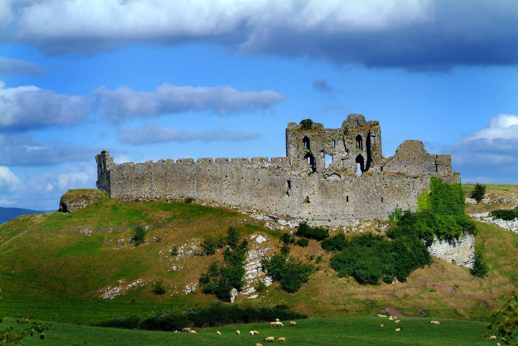
Castle Roche
Castle Roche, an imposing 13th-century Anglo-Norman fortress, rises dramatically from a rocky outcrop in County Louth, marking the contested boundary between the Gaelic province of Ulster and the Engl...
Distance: 15.7 km
